- 31 Maryland Facts: Fun Facts About Maryland You Need to Know - October 13, 2023
- 26 Massachusetts Facts: Fun Facts About Massachusetts To Know - October 9, 2023
- 26 Connecticut Facts: Fun Facts About Connecticut To Read Now - October 9, 2023
The best hikes in Vermont offer scenic views, majestic mountains, unforgettable landscapes, lush forests, enchanting lakes, and stunning waterfalls.
Home to more than 800 trails spanning a total of 67 mountains, the Green Mountain State is a haven for serious mountaineers and everyday hikers alike.
Whether you’re in search of a simple stroll along the shores of Lake Champlain or a multi-day trek through the Green Mountain Forest, you’re sure to find it here and so much more!
To help you make the most of your next outdoor adventure, we’ve compiled a list of the best Vermont hikes below!
16 Best Hikes in Vermont
Here’s everything you need to know about the best Vermont hiking trails. From difficulty levels to elevation gains, popular lookout spots, common wildlife, and practical tips, we’ve gathered all the information needed for an unforgettable excursion into Vermont’s great outdoors!
Please keep in mind that access to many of these trails for hiking purposes is seasonal, but you may be able to visit some of them during the winter for snowshoeing or cross-country skiing.
Pssst: Going on multiple hikes? You might want to rent a cabin and use it as a base in the woods. Highly recommend it!
Best Easy Hikes in Vermont
Moss Glen Falls Trail
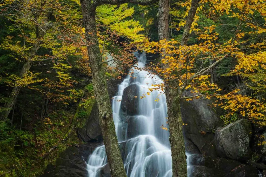
- Length: 5.2 miles | Elevation gain: 951 feet | Guide
If you’re a fan of waterfalls, then you’ll definitely want to add the Moss Glen Falls Trail to your hiking list.
Located just outside Stowe on Route 100, this popular route is one of the best hikes in Vermont, most loved for its waterfall, which is the tallest in the state.
Cascading down 125 feet, the Moss Glen Waterfall deposits into an attached swimming hole that is frequented by locals and visitors alike, especially during the summer months.
Besides, these falls are one of the prettiest places to visit in Vermont.
While the falls are located only a quarter of a mile down the trail, the route does continue along for another 5 miles out and back, providing beautiful views of the waterfall and surrounding area.
For the most part, the trail is relatively flat and easy to navigate, although there is one steep part you’ll need to climb if you choose to continue beyond the waterfall.
Bingham Falls Trail
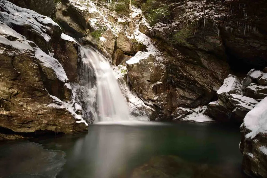
- Length: 0.5 miles | Elevation gain: 148 feet | Guide
This may be one of the shortest Vermont hikes on our list, but it’s also one of the most scenic hikes.
Situated near Smugglers Notch State Park in Stowe, Bingham Falls Trail features stunning gorge views, unique rock formations, a picturesque waterfall, as well as a refreshing swimming hole.
The trail to the falls is only a quarter of a mile long and is clearly marked, making it easy for visitors to navigate.
While the route follows a gentle slope, it does get a bit steep near the waterfall and can be slippery and wet at times. As such, you’ll want to make sure to bring along proper footwear for the walk to and from the falls.
Read next: Weekend Getaways in Vermont
Red Rocks Park Loop Trail
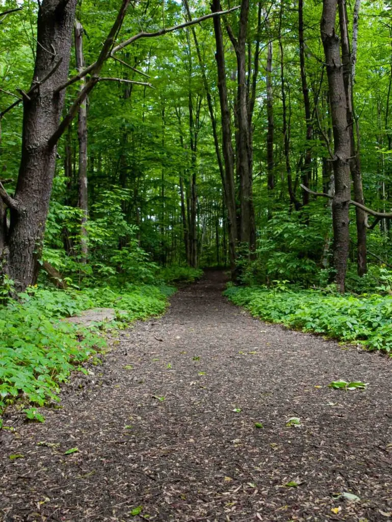
- Length: 2.7 miles | Elevation gain: 226 feet | Guide
Looking to explore the great outdoors near Burlington? Then be sure to take a hike along the Red Rocks Park Loop Trail.
This family-friend loop winds through the woods of Red Rocks City Park and offers stunning views of Lake Champlain and Shelburne Bay.
The trail is relatively flat and accessible, with the exception of one steep section about a mile in. This part of the trail may be difficult for strollers and wheelchairs to navigate; however, there are alternative routes if you need them.
The area is popular, not just for hiking but also for bird watching as well as cross-country skiing in the winter months in Vermont.
Colchester Causeway Trail
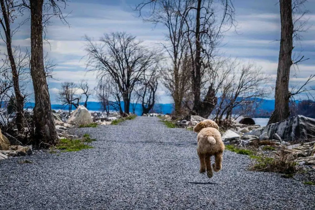
- Length: 10.8 miles | Elevation gain:112 feet | Guide
The Colchester Causeway Trail is, without a doubt, one of the best hikes in Vermont for breathtaking views of Lake Champlain.
Beginning along the shores of Colchester, this flat, out-and-back trail cuts right through the heart of the lake, ending just a short distance away from the coast of South Hero Island.
Along the trail, you’ll find incredibly stunning views of the water, scenic resting spots, as well as a plethora of wildlife, including birds, fish, and turtles.
During the summer months in Vermont, there’s even a ferry that you can hop abroad at the end of the trail, if you’d like to travel further along to visit the island of South Hero.
Mount Olga Trail
- Length: 1.8 miles | Elevation gain: 522 feet | Guide
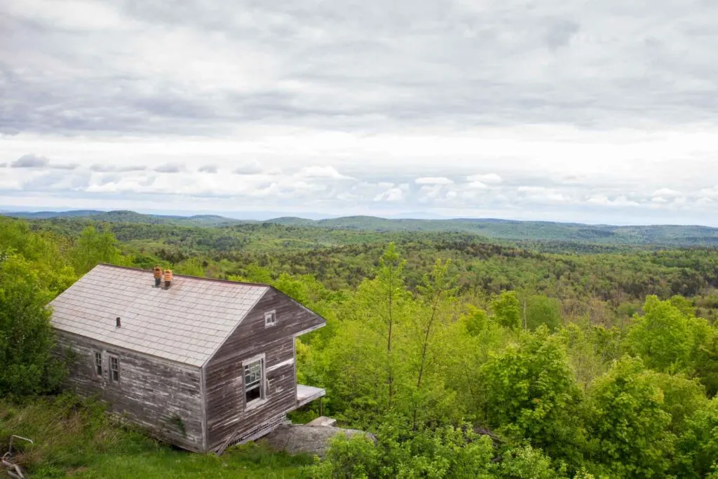
There aren’t many Vermont hiking trails that offer panoramic views, but Mount Olga Trail is one of the best.
Located near Wilmington in Molly Stark State Park, Mount Olga is home to a historic fire tower that makes for an incredible lookout spot.
From the top of this tower, you can see across Vermont all the way down to northern Massachusetts. Needless to say, the views are stunningly breathtaking.
The area is also a popular spot for wildlife, so be sure to keep an eye out for critters as you hike along the path.
Deer, foxes, turkeys, owls, woodpeckers, and black bears are just some of the creatures known to frequent the area.
Best Moderate Hikes in Vermont
Mount Pisgah Trail
- Length: 4.1 miles | Elevation gain: 1654 feet | Guide
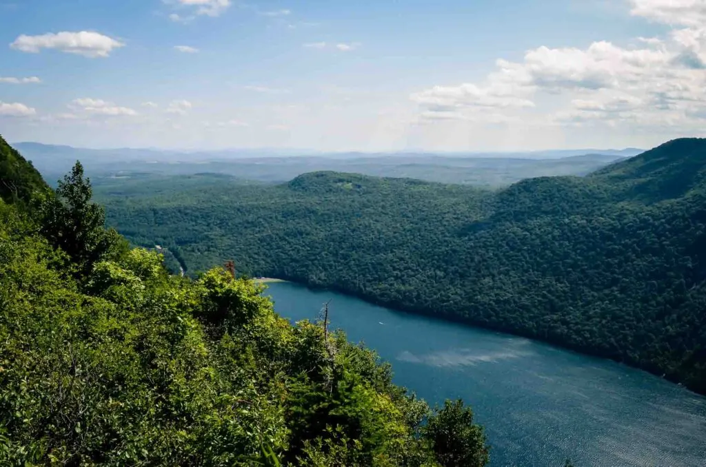
Known for its views of Lake Willoughby, the Mount Pisgah Trail is a popular hiking route located near Orleans in Willoughby State Forest.
Considered to be moderately challenging, this out-and-back trail is a mix of steep slopes and level terrain that ends at the summit of Mount Pisgah.
Along the way, you’ll pass by several notable lookout points that offer views of Burke Mountain and New Hampshire’s White Mountains, in addition to Lake Willoughby.
The area is a popular spot for birding and fishing, in addition to hiking, so it can be quite crowded, especially during the summer months.
Hamilton Falls Trail
- Length: 5.8 miles | Elevation gain: 758 feet | Guide
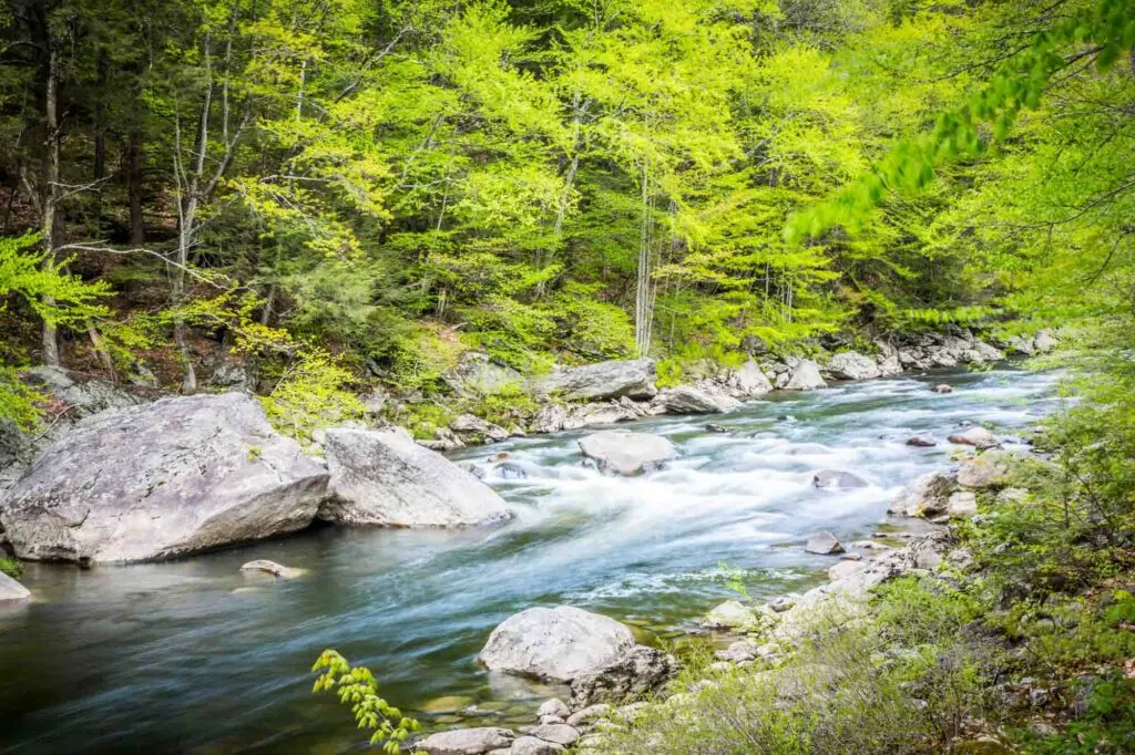
Situated in the southern part of Vermont, Hamilton Fall Trails is one of the most popular hiking routes in Jamaica State Park.
Traveling along the West River towards the Hamilton waterfalls, the route offers scenic views of the lush forest and river bed.
However, the main attraction here is, of course, Hamilton Falls. Cascading down the side of the mountain, the waterfall is composed of four separate tiers, each of which deposit into large potholes or plunge pools.
While swimming within the falls is allowed, it is only advisable for experienced swimmers, as the currents can be very strong and dangerous at times.
Lye Brook Falls Trail
- Length: 4.4 miles | Elevation gain: 919 feet | Guide
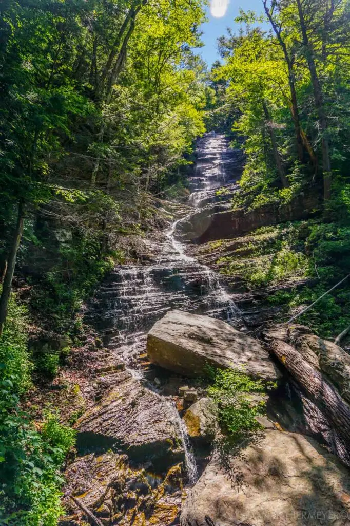
If you’re looking to immerse yourself in the Green Mountain National Forest, then be sure to check out Lye Brook Falls Trail.
Located just outside Manchester, this popular hiking spot weaves through the lush forest, following alongside Lye Brook until it reaches Lye Brook Falls.
The out-and-back path is moderately easy to hike, but it does get a bit steep the closer you get to the waterfall. Stream crossing is also required at certain spots, so be sure to wear waterproof shoes.
While the falls are, undoubtedly, the main highlight of this hike, swimming is not possible, as the water is too shallow. But you can always splash yourself off to cool down a bit!
Haystack Mountain Trail
- Length: 5 mile | Elevation gain: 1010 feet | Guide
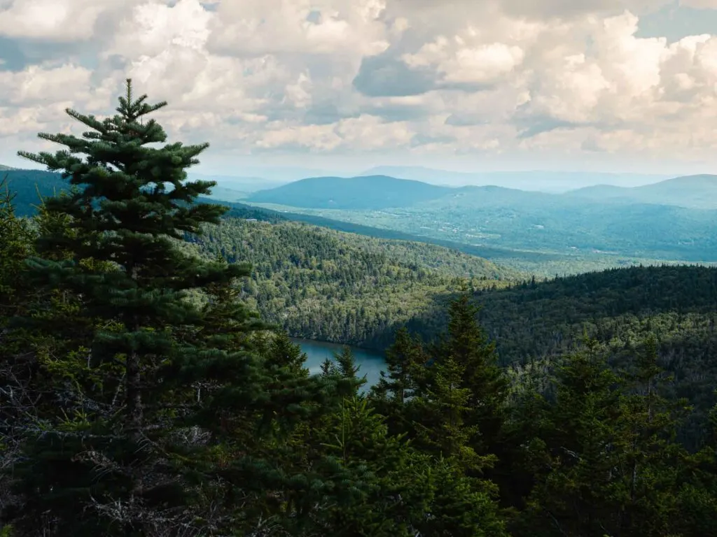
Haystack Mountain Trail is another option for those looking to explore the Green Mountain National Forest.
Situated near Wilmington, this moderately challenging out-and-back hike combines a mix of gradual ascents and steep climbs to reach the summit of Haystack Mountain.
From the top of this mountain, you’ll be treated to 180-degree views of the surrounding area, including snippets of New Hampshire and Massachusetts in the far distance.
In addition to the spectacular scenery, you’re also likely to encounter a variety of wildlife, including deer, beavers, moose, turkey, and maybe even a black bear or two.
The area is also a popular spot for birding, with more than 80 species of birds known to take up residence in the forest.
Sterling Pond Trail
- Length: 2.3 miles | Elevation gain: 909 feet | Guide
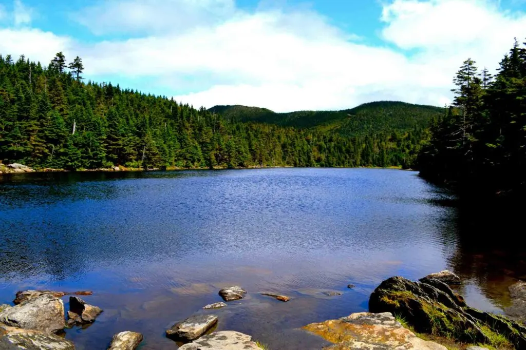
Offering unforgettable views, lush vegetation, and access to a pristine mountain-top pond, Sterling Pond Trail is, undoubtedly, one of the best hikes in Vermont.
Open seasonally from mid-May to mid-October, this trail is located within Smuggler’s Notch State Park, off of its scenic Mountain Road.
The Sterling Pond Trail is considered to be a moderately challenging out-and-back route that encompasses a mixture of gradual ascents and steep climbs.
Along the way, you can expect to encounter rocky and uneven terrain, so it’s best to wear shoes that offer proper ankle support.
At the end of the trail, you’ll be greeted with stunning views of Sterling Pond and the surrounding area.
You can also take advantage of the water and hop in for a swim, so be sure to bring your bathing suit along with you!
The Nose to the Chin via Long Trail
- Length: 2.8 miles | Elevation gain: 1053 feet | Guide
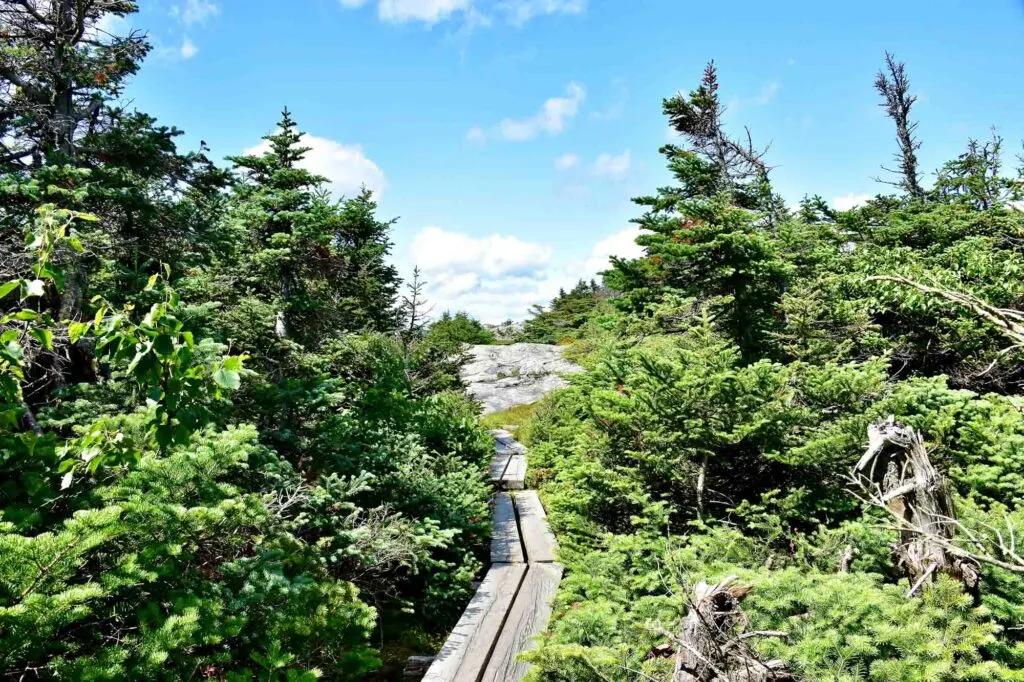
The Nose to Chin Trail is a short subsection of the Long Trail, Vermont’s most popular and longest hiking trail that runs the length of the state.
Covering a distance of 2.8 miles, this out-and-back hike near Underhill State Park travels up to the summit of Vermont’s tallest mountain, Mount Mansfield.
Open seasonally from spring to fall, the Nose to Chin Trail is a moderately challenging hike due to its steep incline and exposure to the elements.
Despite this, the trail is still considered by many to be one of the best hikes in Vermont because of its scenic vistas, which feature 360-degree panoramic views of Vermont’s landscape!
Best Challenging Hike in Vermont
Mount Mansfield Loop Trail
- Length: 7.3 miles | Elevation gain: 2880 feet | Guide
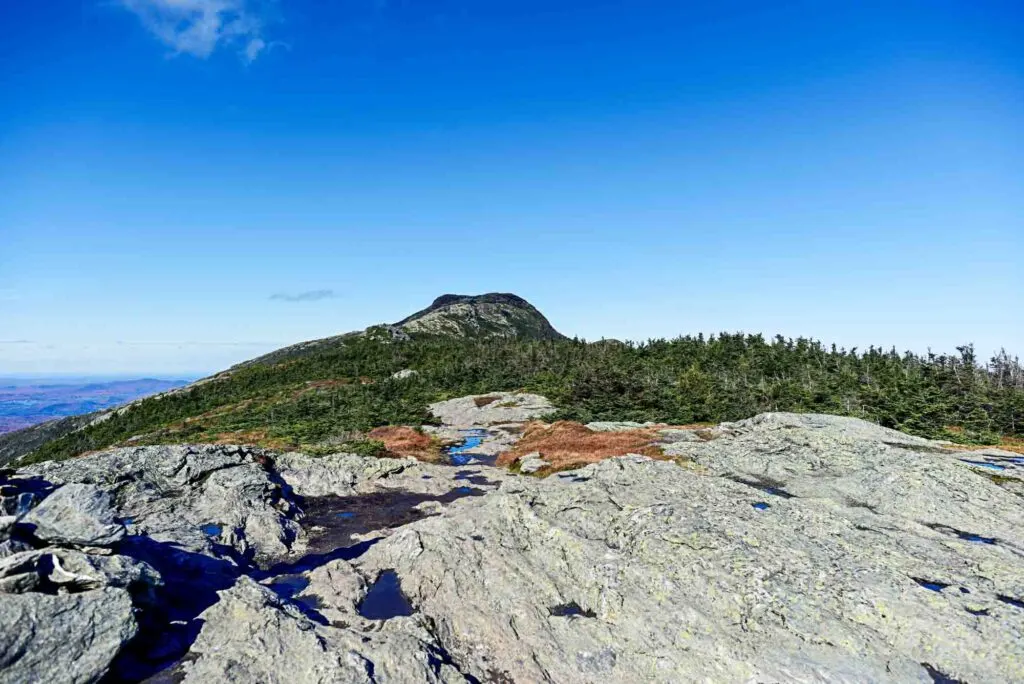
If you’re looking for a more challenging trail along Vermont’s tallest mountain, consider hiking the Mount Mansfield Loop Trail.
Located near Underhill, this route travels up the mountain and above the tree line, taking hikers through some intense but doable terrain.
From steep inclines to rock walls, open chasms that you must leap over, and exposure to the elements, this hike certainly isn’t for the faint of heart.
That being said, it’s still considered to be one of the best hikes in Vermont, given its incredible views and vistas from the summit of Mount Mansfield.
Camel’s Hump Trail
- Length: 6 miles | Elevation gain: 2589 feet | Guide
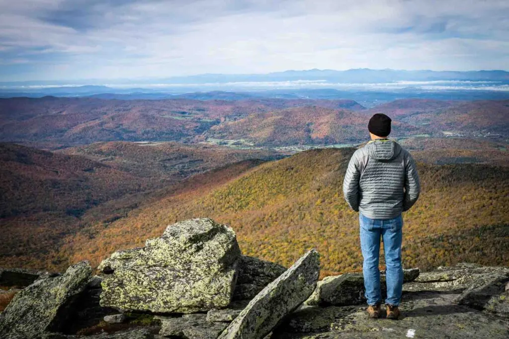
One of the most popular trails among locals, Camel’s Hump Trail is a strenuous hike that offers incredibly scenic views.
Set within Camel’s Hump, one of the best Vermont state parks, this out-and-back route winds its way up Camel’s Hump Mountain traversing over rocky and steep terrain.
The sometimes narrow trail takes hikers quite close to the edge of the mountain, so it may not be ideal for those who are afraid of heights.
However, if you can work up the courage to brave the steep elevation, you’ll be rewarded with sweeping views of the surrounding landscape.
From Mt. Mansfield to Mount Washington in New Hampshire and the Canadian border, you’ll be able to see it all!
Equinox Mountain and Lookout Rock
- Length: 6.3 miles | Elevation gain: 2884 feet | Guide
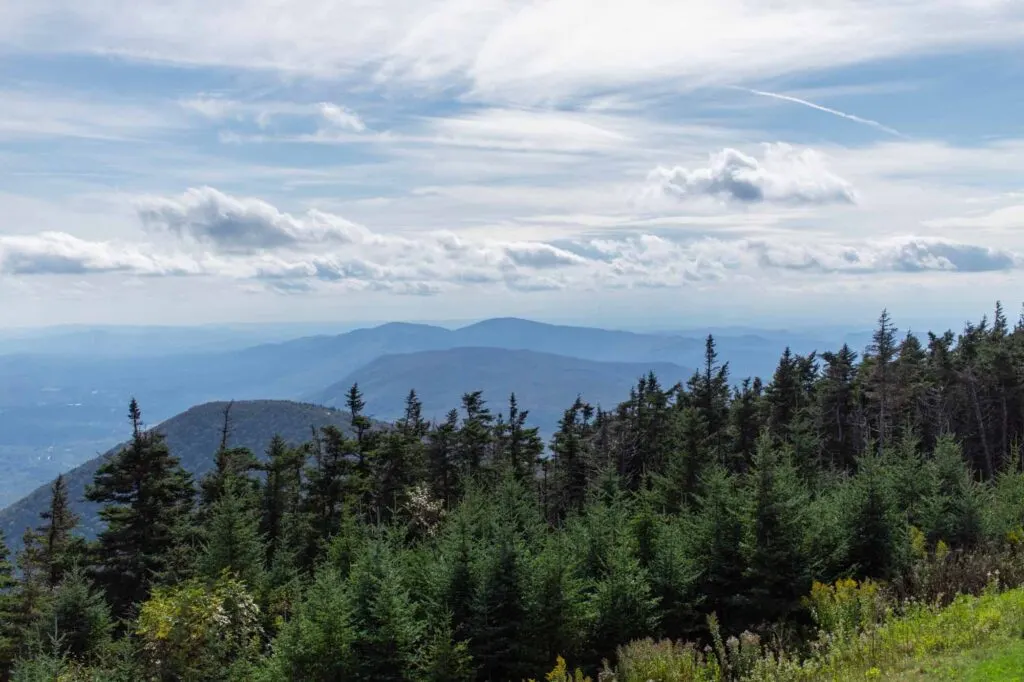
As the tallest summit in the Taconic Range, Equinox Mountain is well worth a visit!
From its peak at Lookout Rock, you’ll be able to take in the vistas of four different states – Vermont, New York, New Hampshire, and Massachusetts.
In addition to this, the summit of the mountain is home to its very own visitor’s center, the Saint Bruno Scenic Viewing Center.
Dedicated to Vermont by the local Order of Carthusians, this center provides a wealth of historical information about the mountain and the people who first settled the area.
In order to reach the center and its incredible views, however, you will need to traverse some pretty steep terrain that gains almost 3,000 feet in elevation.
Mount Abraham via Long Trail
- Length: 5.1 miles | Elevation gain: 1765 feet | Guide
Mount Abraham is another great section of the Long Trail to explore if you don’t want to commit to the entire hike.
Beginning at Lincoln Gap, a mountain pass near Bristol, this strenuous route winds through the Green Mountain National Forest and up to the summit of Mount Abraham.
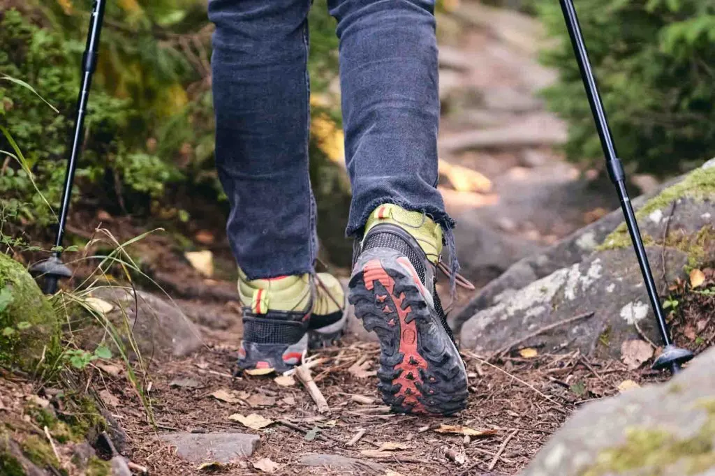
Along the way, you can expect to encounter a steep incline and rocky, uneven terrain that sometimes requires rock scrambling.
Despite this, the trail is still considered by many to be one of the best hikes in Vermont, given its stunning vistas.
From the summit, you’ll be rewarded with 360-degree views of New England, including Lake Champlain, Mount Washington, and even the Adirondacks in New York.
Stowe Pinnacle Trail
- Length: 3.7 miles | Elevation gain: 1605 feet | Guide
This trail may be relatively short compared to the others on our list, but it’s still quite the challenge to hike.
Situated near Stowe, the Stowe Pinnacle Trail is an incredibly steep trail that gains significant elevation in a short amount of time.
You should come here prepared to take on a staircase-like climb that may just leave you winded at times.
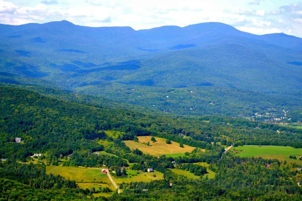
Don’t let that scare you away, however! The excellent views at the summit are well worth the work and include vistas of Mount Mansfield, Mount Hunger, as well as Camel’s Hump.
Final Thoughts on the Best Hikes in Vermont
There are so many amazing day hikes in Vermont that it can certainly be hard to choose just one.
But hopefully, this article has helped you to narrow down your top destinations for your next outdoor adventure in the Green Mountain State!
Did you like learning about the best hikes in Vermont? If so, be sure to share this article with a friend who may planning to go hiking in Vermont!
